The border defense system that marked the provinces and provinces and of the Roman Empire were known as the "Roman Limes". Today, they are often referred to as simply "The Limes". It is unknown how they received this name, but they still spread from the Atlantic coast of Northern Britain, through Europe and the Black Sea, and then to the Red Sea and across Northern Africa. The borders are marked by two long structures, as a symbol that the other side is part of the Roman Empire. One was Hadrian's Wall, named after Emperor Hadrian (76 AD-138 AD). The Antonine Wall also marks the other borders of Rome, but is much shorter in length. Combined, the walls stretch across 5000 kilometers of land. Also, they both make up the exterior regions of the Empire to mark the territory that was conquered by Rome.

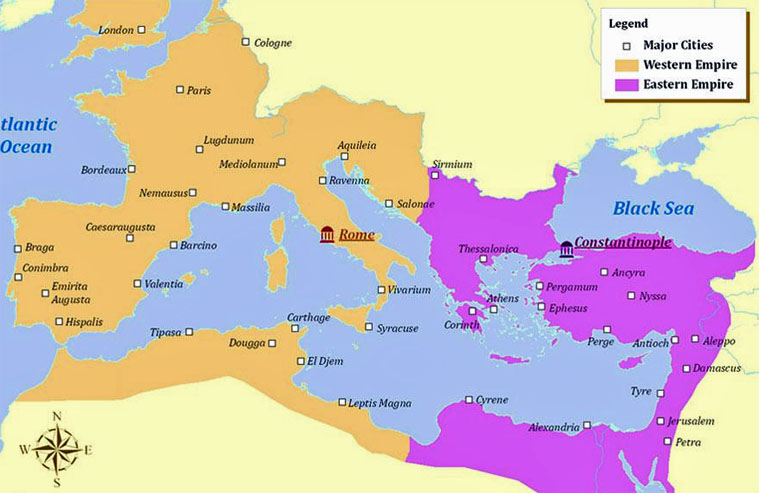
This is the split between the Easter Roman Empire and the Western Roman Empire:
